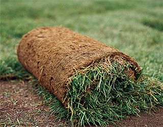
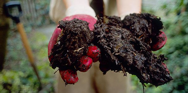
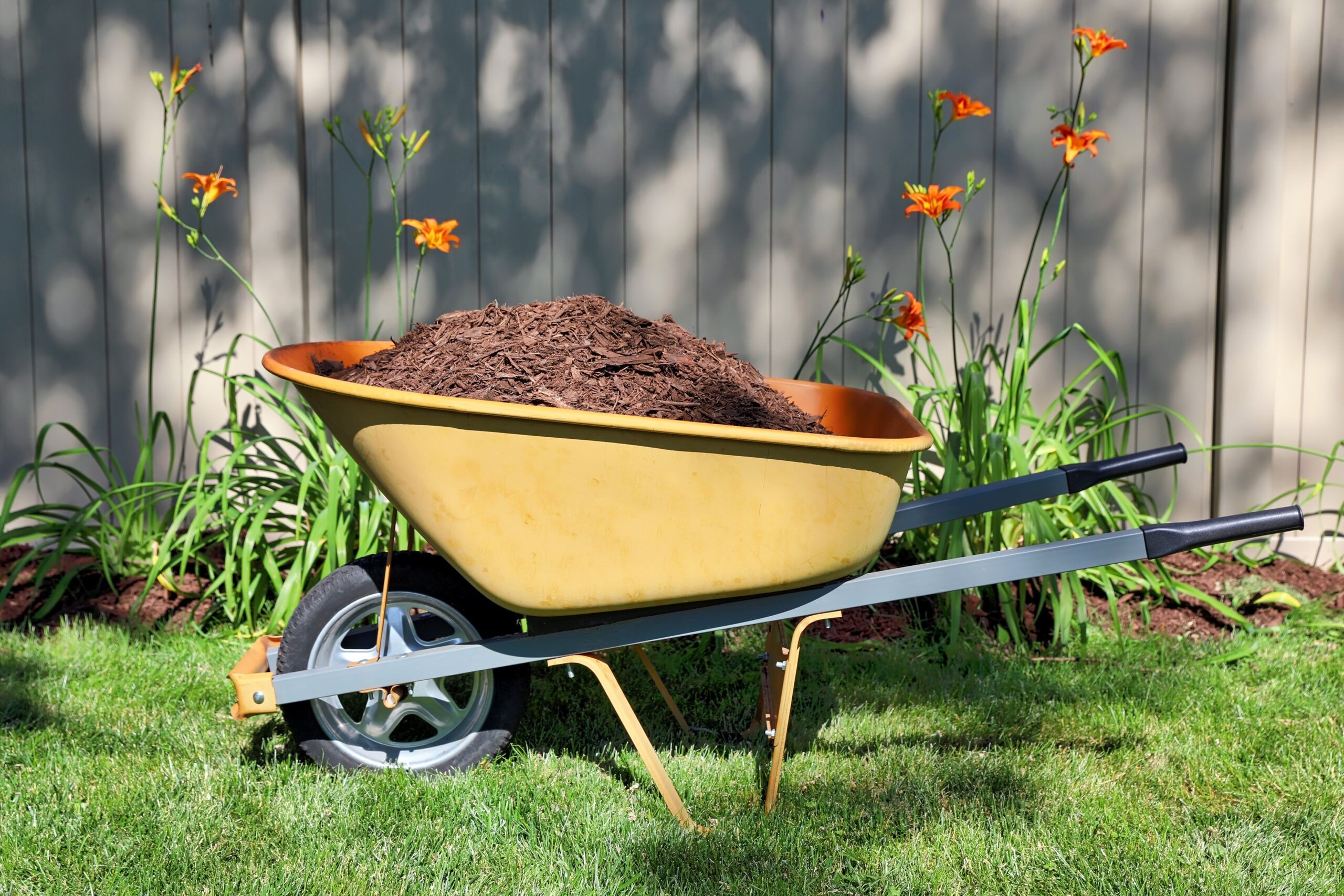
How To Quick Compost in 5 Easy Steps
Do you want nutrient-rich compost without waiting for months? Learn how to produce sustainable compost in just weeks with quick composting.


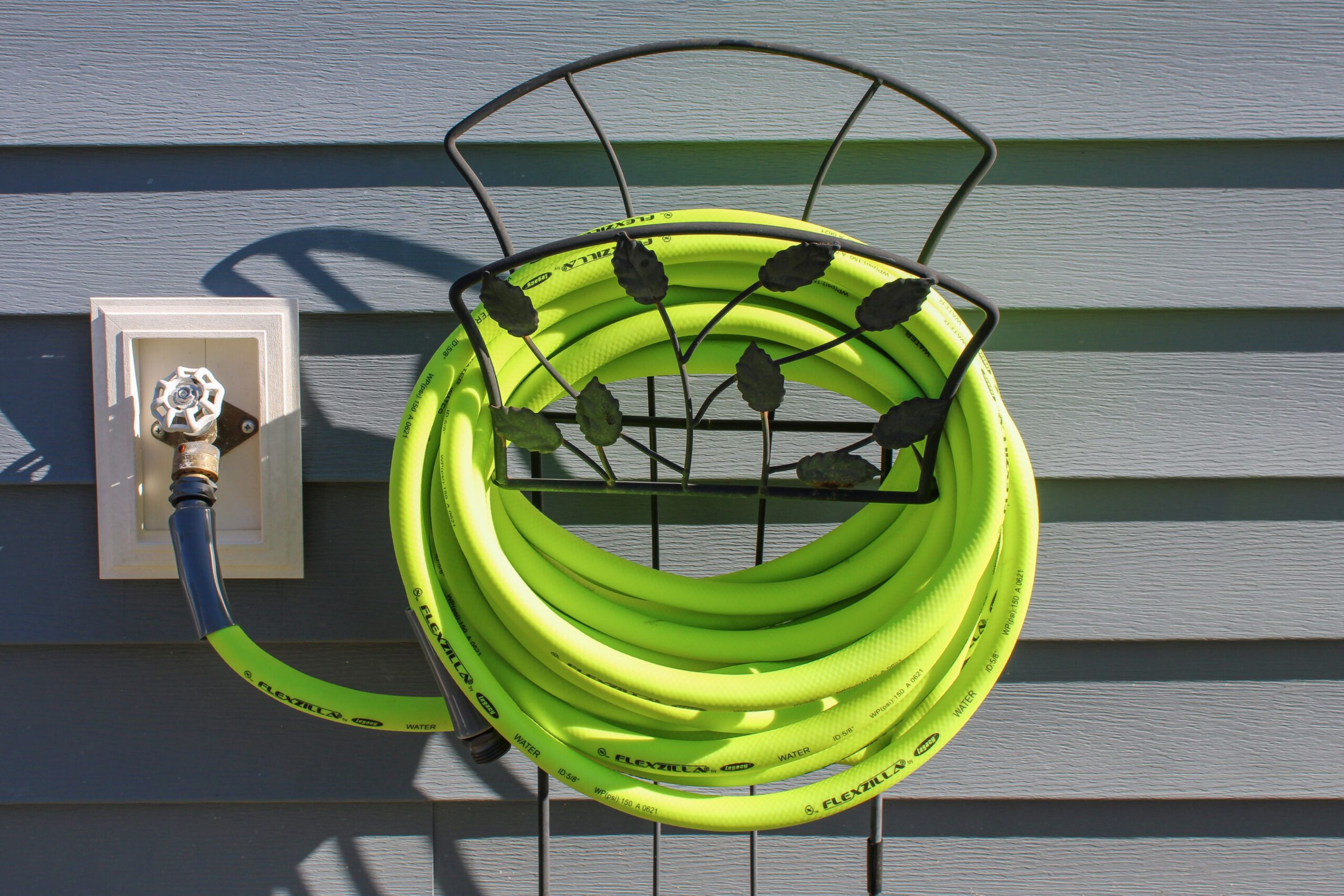
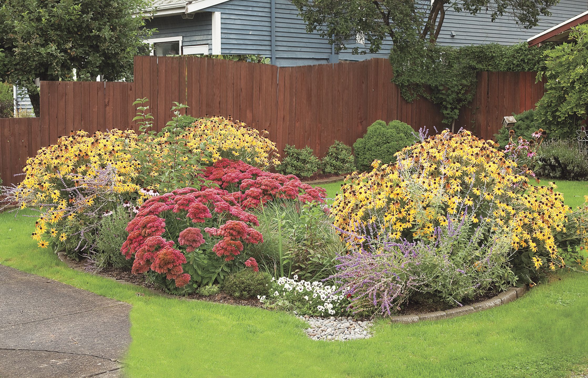
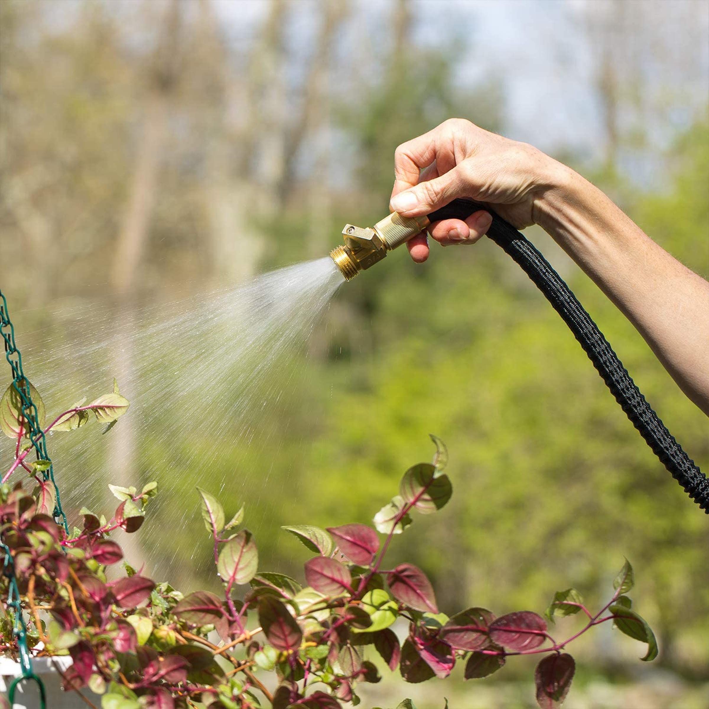
Maintain your landscaping and keep your lawn watered and healthy with a garden hose. Read our guide to the six best garden hoses on Amazon.
Read the article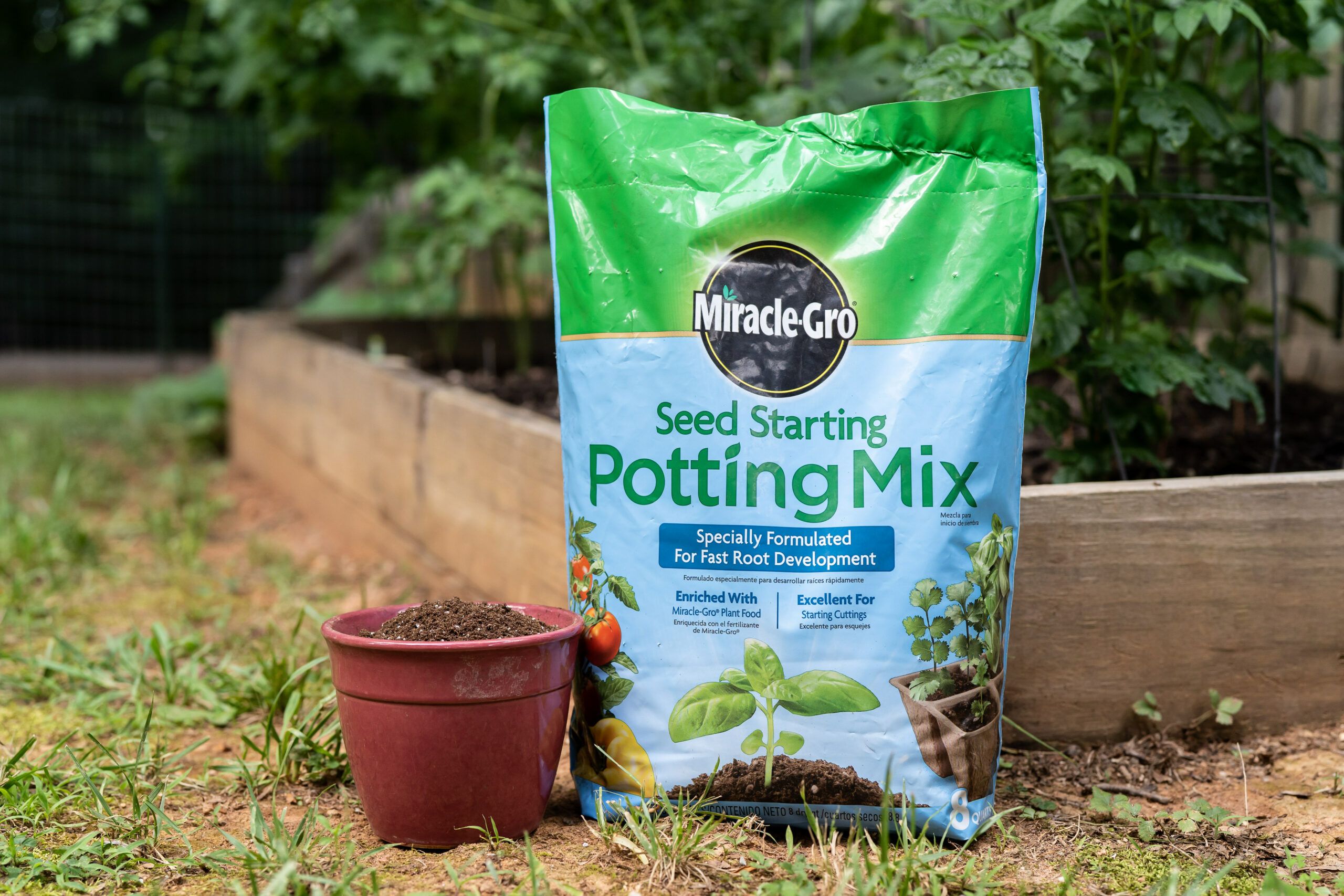
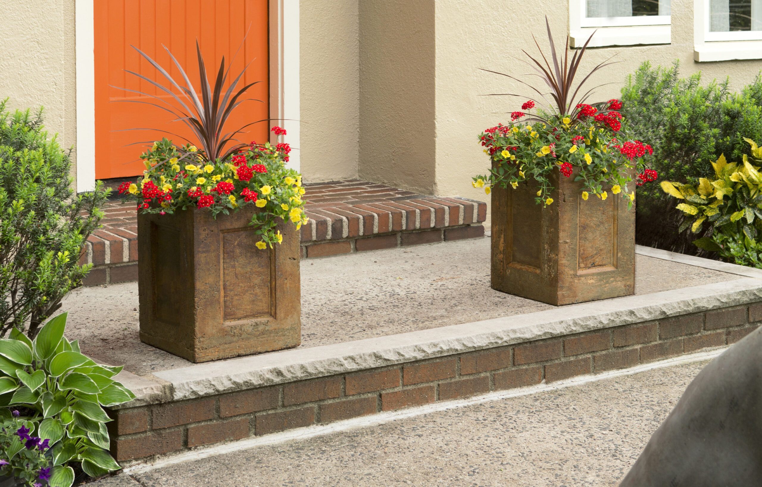
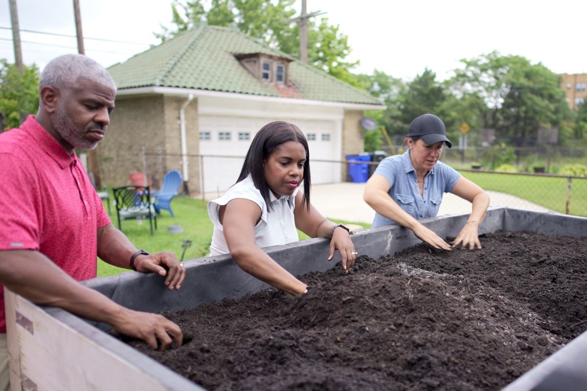
Soil helps your plants retain moisture and nutrients to reach their maximum growth potential. This buying guide examines the best potting soils on the market.
Read the article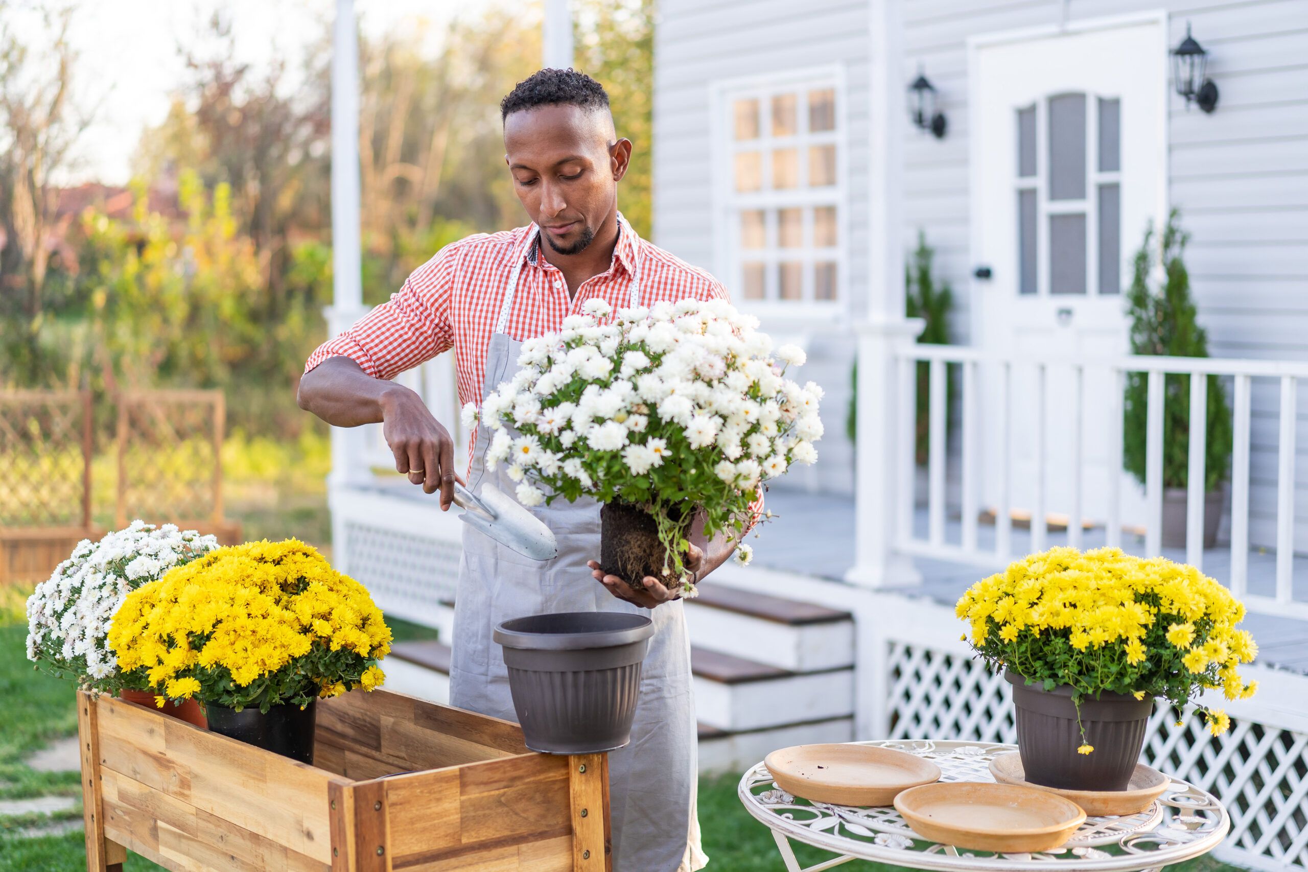
Raised beds allow you to garden without bending down. Our guide will help you choose the best raised garden bed for your yard from Amazon’s many offerings.
Read the article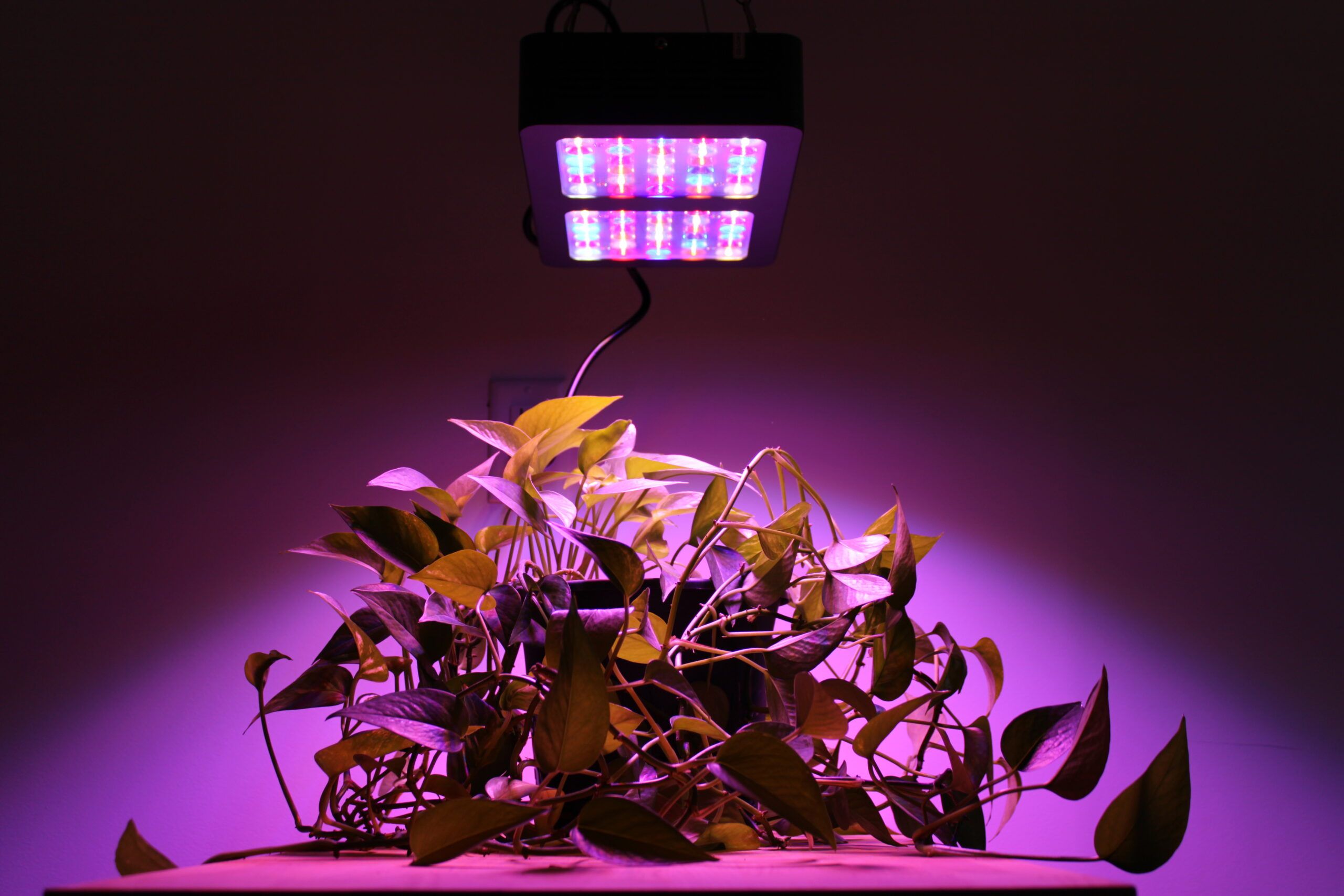
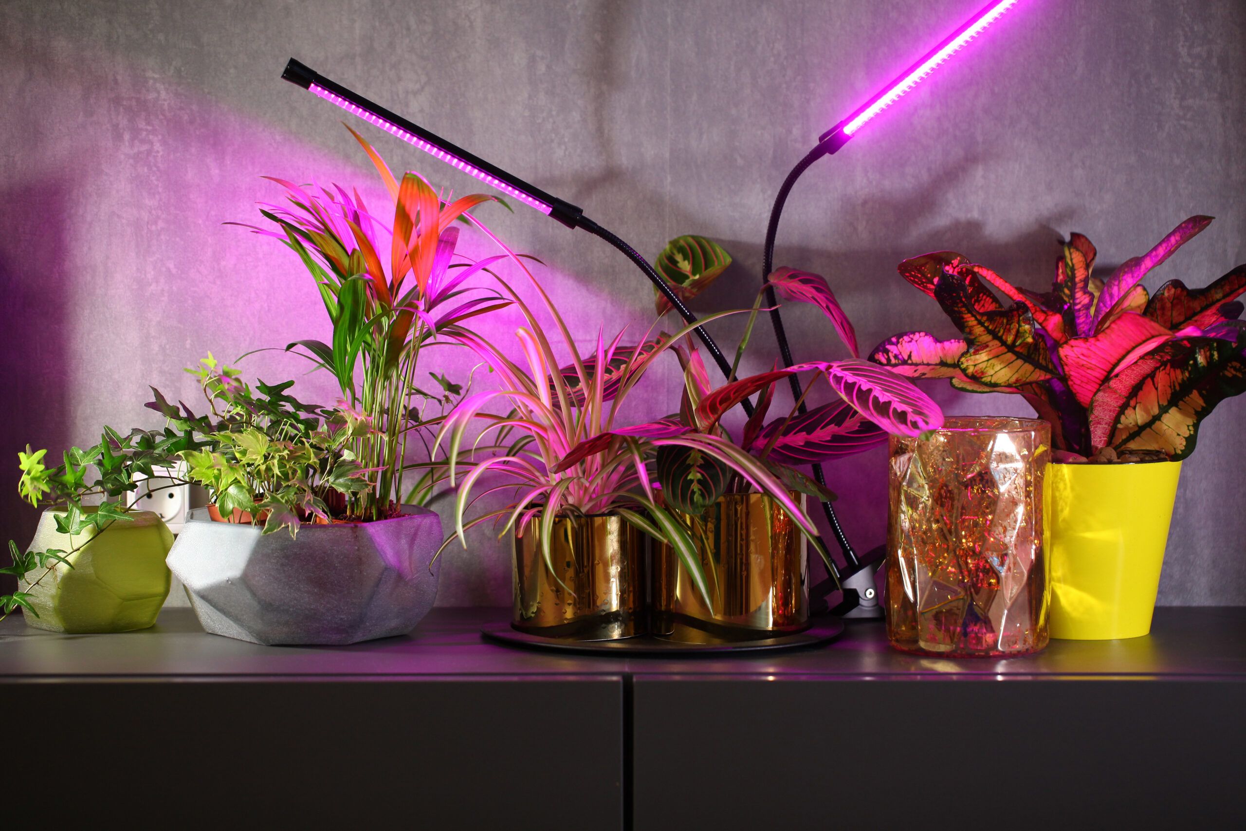
Having the right equipment to grow indoor plants is a big investment. In this review, we explore the best LED grow lights on the market.
Read the article
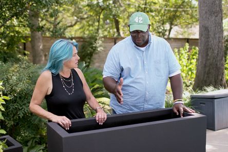
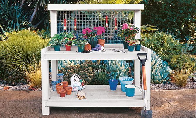
How to Plant an Herb Garden in an Elevated Bed
Landscape contractor Jenn Nawada spent some time learning about pollinator gardens before helping homeowners plant an herb garden in their raised bed planter.